Riley Simon · 14 October 2026
Northvale River Initiative's Ecological Discoveries Extend Construction Timetables Across the Region
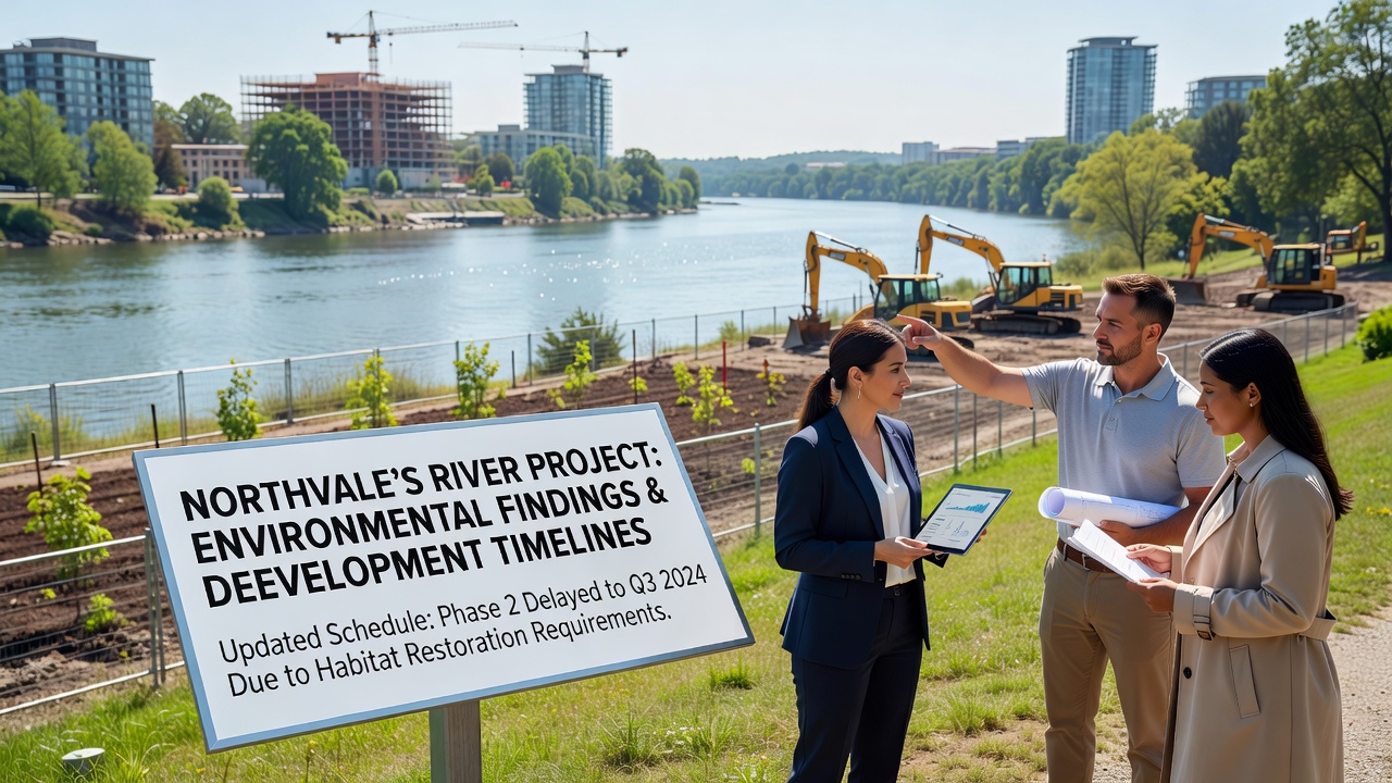
Environmental surveys conducted as part of the Northvale River Initiative have produced data that directly extends approval processes for several residential and commercial developments along the waterway, with findings on sediment contamination and habitat disruption prompting additional review periods from planning authorities. Developers in the area report that initial timelines projected for completion in late 2025 now stretch into 2027 or later, because new mitigation requirements emerged from these assessments. The project itself, launched in 2023 to restore sections of the river corridor, continues to generate quarterly reports that feed into local zoning decisions.
Key Findings from Recent Surveys
Researchers documented elevated levels of heavy metals in riverbed samples collected between March and August 2025, while wildlife counts revealed declines in certain fish species that rely on clean spawning grounds. These results, compiled by independent consultants contracted through the initiative, led the Northvale planning department to require extended environmental impact statements before greenlighting new builds within 500 meters of the riverbank. One study released in July 2025 showed that 12 percent of sampled sites exceeded regulatory thresholds for copper and zinc, which in turn triggered consultations with external experts on remediation techniques.
Observers note that similar patterns have appeared in other river restoration efforts, where baseline data collection forces developers to recalibrate schedules. Construction firms operating near the Northvale waterway have adjusted procurement plans accordingly, delaying equipment orders and subcontractor agreements until revised permits arrive. Data from the initiative indicates that average permit processing times increased from 14 weeks to 26 weeks following the release of the 2025 sediment report.
Impact on Specific Development Projects
Three major housing developments originally scheduled to break ground in spring 2026 now face phased starts beginning no earlier than October 2026, because planners demanded additional flood modeling and buffer zone expansions based on river project data. Commercial site plans near the central district also encountered holds, with one retail complex pushing its opening from mid-2026 to early 2028 after habitat surveys identified protected bird nesting areas that overlap with proposed access roads. Local officials have scheduled public consultations for September 2026 to review proposed adjustments, giving stakeholders time to examine updated environmental models before final votes occur.
Those tracking regional growth patterns point out that the river initiative's findings align with broader European Environment Agency guidelines on urban waterway management, which emphasize cumulative impact assessments over isolated project reviews. This alignment has encouraged Northvale authorities to incorporate cross-referenced datasets from neighboring districts, further extending the review cycle for multi-phase builds. Developers meanwhile explore alternative site designs that incorporate wider riparian buffers and engineered wetlands to satisfy the new criteria without abandoning core project scopes.
Adjustments in Regulatory Processes
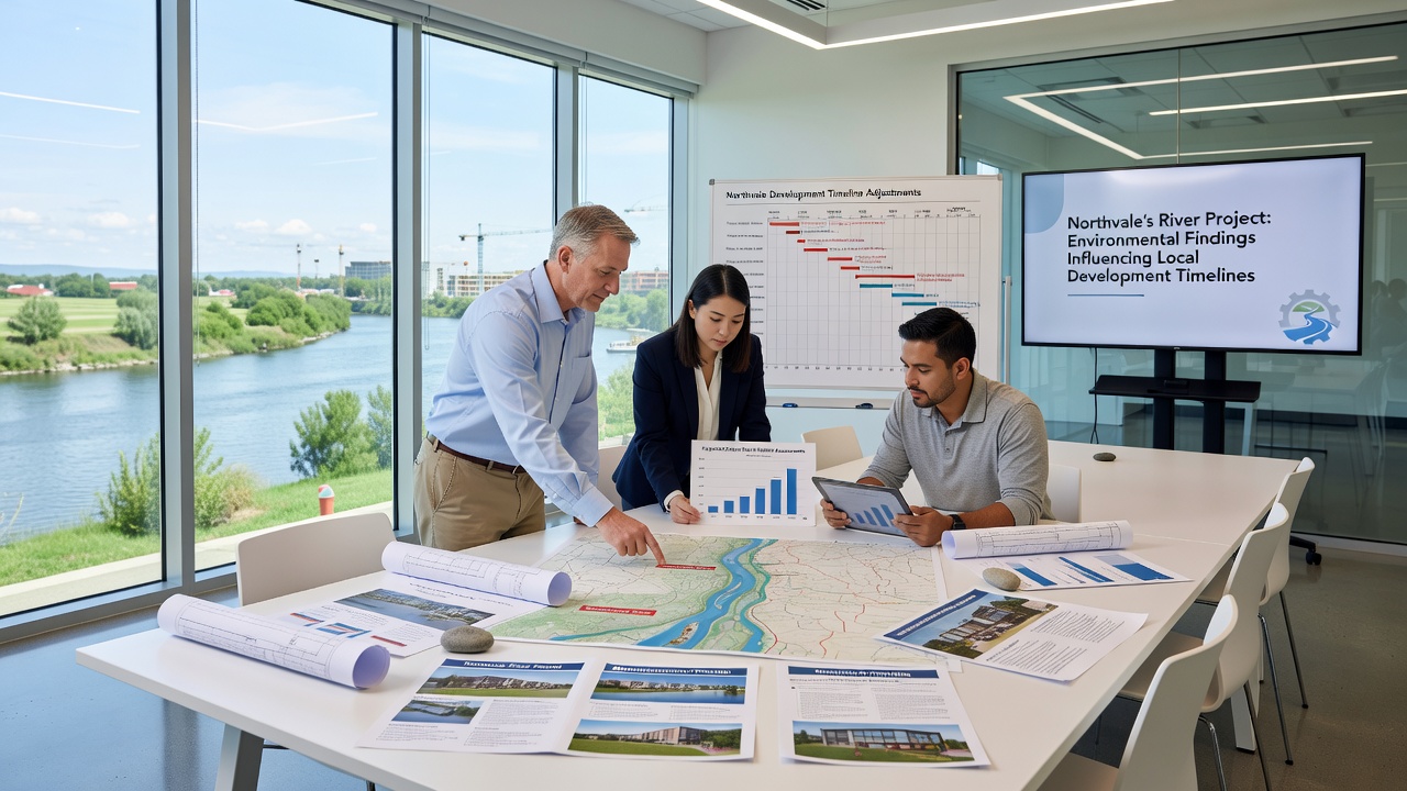
Planning committees have begun requiring quarterly progress reports tied directly to river initiative metrics, rather than annual summaries that previously sufficed. This shift stems from evidence showing seasonal variations in water quality that single-point assessments missed. Contractors report that bidding processes now include clauses for potential timeline extensions linked to ongoing monitoring, which protects both parties when new data surfaces mid-project. Figures released in the initiative's September 2025 update reveal that four out of seven active development applications required at least one supplemental study before advancing to the next stage.
What's interesting is how these requirements intersect with national infrastructure targets, where regional bodies must balance housing delivery goals against documented ecological constraints. Northvale's approach mirrors methods used in Australian river basin management programs, where adaptive scheduling protocols help maintain project viability while addressing emerging environmental concerns. Local engineers have started integrating real-time sensor networks along the river to provide continuous data streams, reducing the need for repeated full-scale surveys that previously caused repeated delays.
Future Outlook for Regional Planning
By October 2026, updated models from the river project are expected to inform a comprehensive zoning revision that could affect up to 35 hectares of currently designated development land. Authorities plan to release preliminary maps showing revised buffer zones and restricted activity periods tied to fish migration cycles, giving developers advance notice before formal applications open. Industry reports from research institutions such as those affiliated with the US Environmental Protection Agency on urban river restoration suggest that early incorporation of such data tends to stabilize long-term costs despite initial schedule extensions.
Stakeholders continue to monitor how these adjustments influence investment decisions, with some firms redirecting resources toward inland parcels less affected by river corridor rules. The initiative's ongoing work, including planned dredging and bank stabilization phases scheduled through 2027, will likely generate additional datasets that feed back into planning cycles. Observers expect this feedback loop to become standard practice for similar projects elsewhere, as cumulative environmental records accumulate and refine development forecasting methods.
Conclusion
Northvale's river project continues to supply the empirical foundation that shapes how local development timelines evolve, with each new dataset prompting measurable shifts in permitting duration and design specifications. The integration of these findings into routine planning ensures that construction schedules reflect current ecological conditions rather than outdated assumptions. As additional reports emerge through 2026 and beyond, regional authorities adn developers alike will maintain the iterative review processes that keep projects aligned with documented environmental parameters.